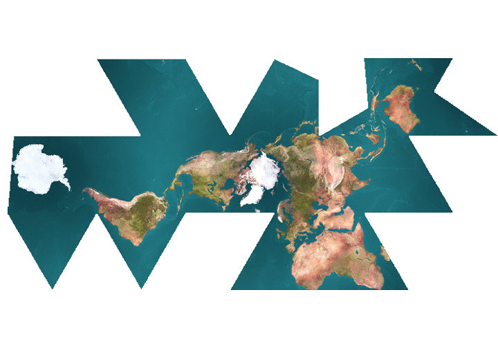
The geographical peculiarities of the British Isles.

Almost certainly just me that thinks it but the east coast of Scotland kinda looks like a smiling face. The mouth is around Edinburgh, massive nose goes from Dundee to Inverness then an eye and a bit of a quiff.

*Disclaimer - some alcohol was consumed prior to the creation of this post.*
 
Edinburgh is further west than Bristol.

That aspect throws me quite a bit, the other one, though not so much about the UK as such, is just how much further north the UK is than many parts of Canada which get very cold winters and you'd think were further north.
 
Brits are quick to mock the lack of geographical knowledge sometimes shown by our friends from across the pond, yet in my experience it seems that few Brits actually know (readily) the name of the island that London, Edinburgh and Cardiff are all located on.

… not sure if that’s strictly a ‘geographical’ peculiarity, mind :p
I remember when I was in the USA. A man we got talking to in a queue said “will you say hi to my brother who lives in Ports-MOUTH”.

11 states are bigger than the UK in area.
 
That aspect throws me quite a bit, the other one, though not so much about the UK as such, is just how much further north the UK is than many parts of Canada which get very cold winters and you'd think were further north.
This confuses my US colleagues so much. They can’t believe it when they are here. They are used to brutal Michigan winters and then they are wondering why it is so dark but not that cold in the winter. Scotland is as far north as Alaska and the very top of it is just about as north as the bottom of Greenland. I think London is probably the 2nd most Northern mega city after Moscow.
 
Brits are quick to mock the lack of geographical knowledge sometimes shown by our friends from across the pond, yet in my experience it seems that few Brits actually know (readily) the name of the island that London, Edinburgh and Cardiff are all located on.

… not sure if that’s strictly a ‘geographical’ peculiarity, mind :p
I used British Isles on purpose because I’m including all the other associated bits, not just England, Scotland and Wales.
 
That aspect throws me quite a bit, the other one, though not so much about the UK as such, is just how much further north the UK is than many parts of Canada which get very cold winters and you'd think were further north.
Agreed, this is an odd one, especially considering that only about 150 people live in the north of Canada, the rest live smuggling against the border for warmth.
 
Latitude wise, the UK as a whole is a few degrees north of the US/Canada Border.

Somewhat over 150 million years worth of sedimentary rock can be seen on the Jurassic coast, often tilted at 75 degrees

Doggerland, the land bridge between what is now East Anglia and the Netherlands/Jutland was submerged about 8000 years ago meaning it probably has some amazing archeology.

The Channel used to be the estuary of a river that counted the Thames and Rhine as mere tributaries making that river even longer than the Danube.

I love this stuff (as a punter).
 
t I l
Screenshot-2023-12-23-23-30-27-77-40deb401b9ffe8e1df2f1cc5ba480b12.jpg
love how the Mercator projection distorts the sizes so much (dark is the true size of the country) Greenland (I know UK thread) has misinformed many school kids I reckon
 
Last edited:
t I l
Screenshot-2023-12-23-23-30-27-77-40deb401b9ffe8e1df2f1cc5ba480b12.jpg
love how the Mercator projection distorts the sizes so much (dark is the true size of the country) Greenland (I know UK thread) has misinformed many school kids I reckon
It would mess up the distances between each land mass if they didn’t scale it. It’s the only way to properly fit the globe into a 2D map.
 
Back
Top Bottom