ADVANCED WEATHER WARNING
FOR TUESDAY/ WEDNESDAY
ISSUED BY THE MET OFFICE.
WARNING TYPE. HEAVY RAIN, WITH RISK OF FLASH FLOODING
United Kingdom
Wales
North West England
North East England
Yorkshire & Humber
West Midlands
East Midlands
East of England
South West England
London & South East England
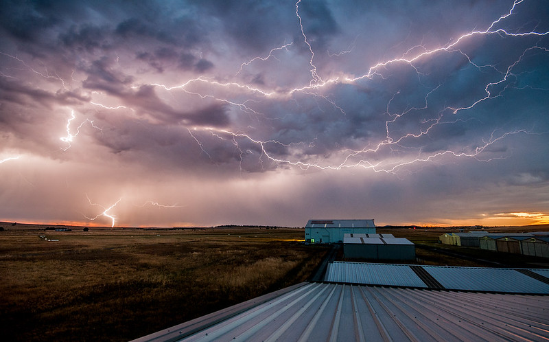
During this period, the risk of thunderstorms or longer spells of thundery rain, increases from the southwest. The main focus for severe weather will probably be clear of southwestern areas by the start of Wednesday, when the peak risk is still moving into parts of northern England.
The public should be aware of the risk of localised disruption to travel, and more generally to summer holiday activities.
An area of low pressure is expected to increasingly interact with the plume of hot, humid air resident across parts of southern Britain. Whilst preceding days will have seen only isolated thunderstorms, the developing set-up on Tuesday and Wednesday, provides the ingredients for more widespread and energetic storms. Large rainfall totals, falling in short periods and onto hard-baked ground, may lead to flooding locally, with hail a possibility.
As is common in such situations, not everywhere will catch the heaviest of the storms, and a few places may well escape altogether. The Alert intentionally covers a broad area at present, to cater for the uncertainties in the thundery focus, as signposted by various available computer model output. As such, updates to the area are highly likely in the coming days.


 the girlfriend on the other half is scared of them, like seriously, she hides under anything she can lol


