

-
Notice regarding image hosts and attachments. See here.
You are using an out of date browser. It may not display this or other websites correctly.
You should upgrade or use an alternative browser.
You should upgrade or use an alternative browser.
Thunderstorms 2026
- Thread starter Neil79
- Start date
More options
View all posts


lol I'm in Brentwood but really high up so I can see to the Dartford crossing and London - and it looked black as hell earlier,
Seems to have been way worse to my south west, some saw so much hail it looked like it had snowed overnight
You can see why Wales have had such storms!
Along the coast winds are south south west, but inland it's east. Big convergence
Along the coast winds are south south west, but inland it's east. Big convergence
Last edited:
Bloody hell, size of that storm cloud
 www.sat24.com
Cloud radar United Kingdom - View live satellite images | SAT24
View live satellite images of United Kingdom on the cloud radar at SAT24 and see where the sun is shining or the rain is falling.
www.sat24.com
I slept through it 
Met office forecasted "Showery Rain possible"
Met office forecasted "Showery Rain possible"
Last edited:
Thunderstorm risk tonight, then tomorrow/thursday 

 www.bbc.co.uk
BBC Weather - Home
Latest weather conditions and forecasts for the UK and the world. Includes up to 14-days of hourly forecast information, warnings, maps, and the latest editorial analysis and videos from the BBC Weather Centre.
www.bbc.co.uk
There are likely to be some thunderstorms around the UK this week, some potentially quite intense. However worth putting things in perspective. The setup for us in the UK is not on the same level as the severe weather environment affecting parts of France. There, high instability/CAPE overlaps with very strong deep-layer shear. Convergence zones, drylines and orographic triggers were all helping storm development. ESTOFEX issued a Level 3 for a reason.
I want to be in France
Go for it
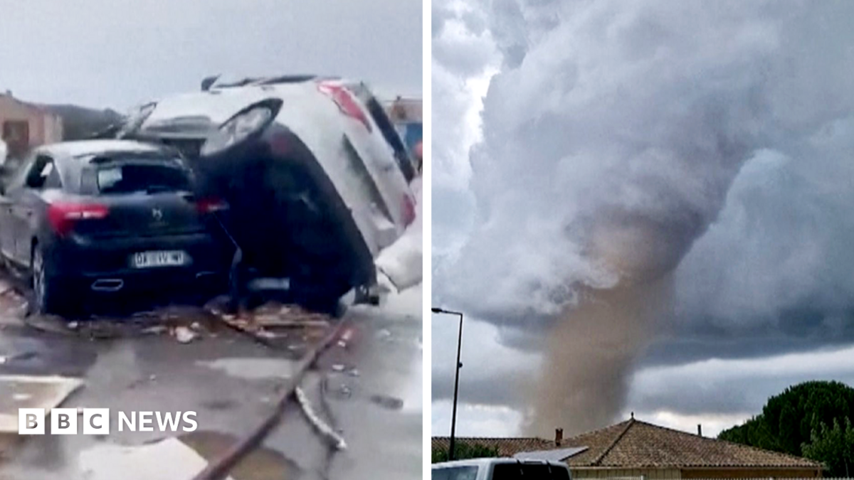
Moment tornado tears through southern France
The tornado has injured more than 40 people and destroyed homes in villages.
 www.bbc.co.uk
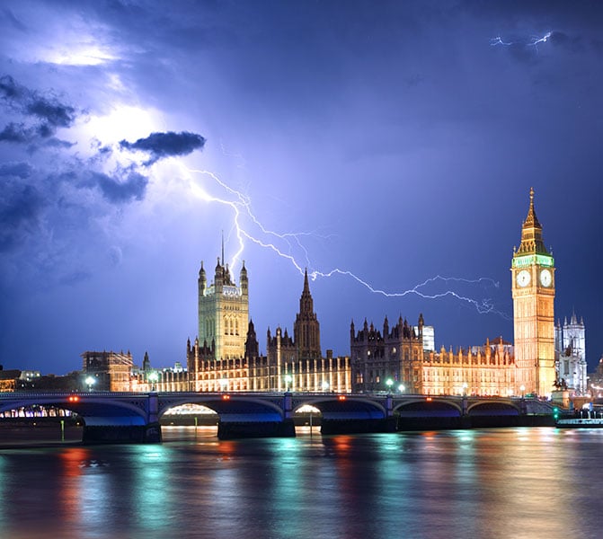
Severe Convective Weather & Storms Forecast - Netweather.tv
Track UK thunderstorms, heavy rain & hail with detailed maps and expert analysis. Stay ahead of the storms.
 www.netweather.tv
Heavy showers and elevated thunderstorms are likely to develop intially towards SE England and East Anglia in the early hours of Wednesday, as a result, within the destabilising warm plume axis advecting out of the near continent. A band of heavy showers and elevated thunderstorms then spreading north and northwest across the Midlands and northern England through the morning, but tending to weaken. Sunny spells following from the south across Wales, central and southern England - but with temperatures reaching 24-26C and higher humidity inland - may allow further heavy showers and thunderstorms develop here - particularly north of the M4 across Wales, The Midlands and perhaps up into NW England. Heavy showers and perhaps an isolated storm may develop across SW Scotland too into the evening. There is a risk of localised flash-flooding, hail, gusty winds and frequent lightning with stronger thunderstorms.
Further risk of thunderstorms moving up from the south from early Thursday, but this will be covered by a new Thunderstorm Watch issued later on Wednesday.
