Ooops I forgot to make the yearly Winter thread! So here goes
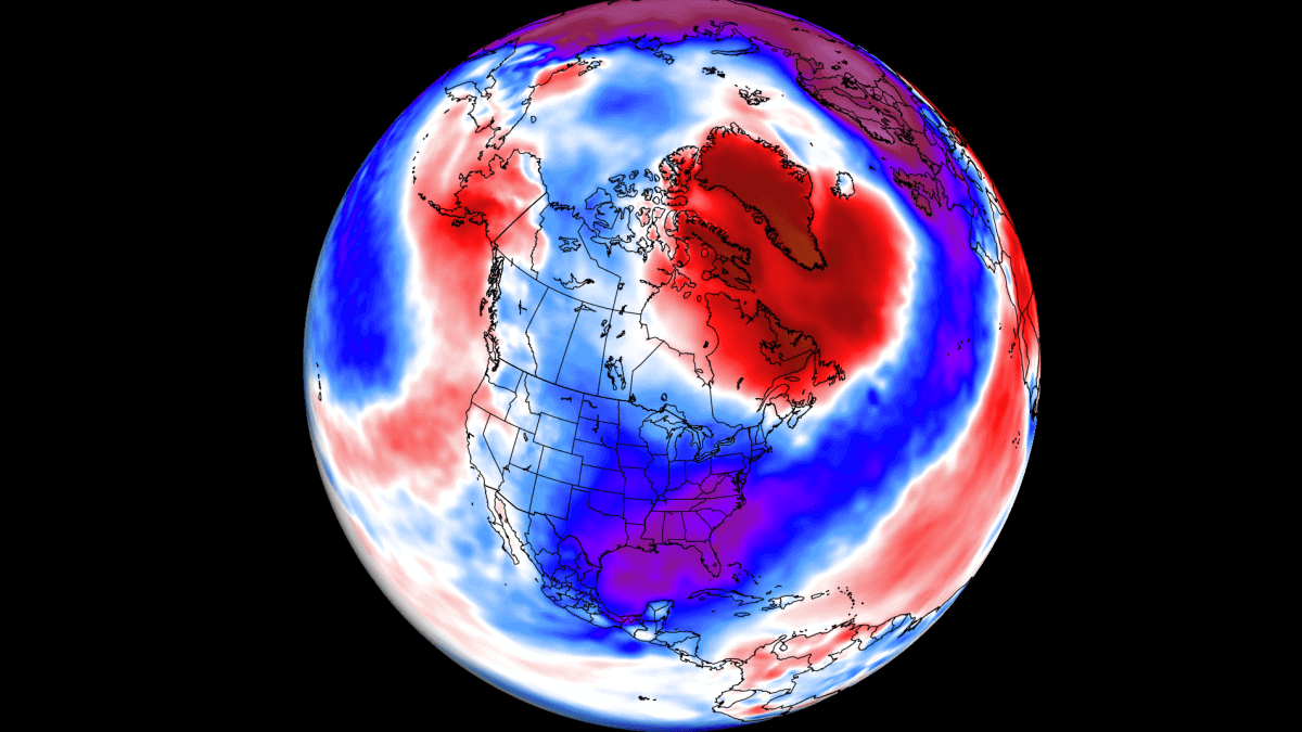
The First forecast for Autumn/Winter has appeared on TWO
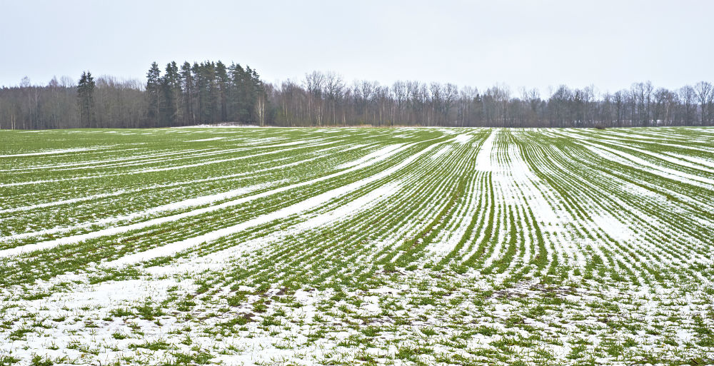
Although that's Autumn, it does mention colder incursions and snow later half of November
Gavs Winter Forecast
It was also a rather cool/cold Summer, with a lack of sunshine and proper summer heat
 www.netweather.tv
The First forecast for Autumn/Winter has appeared on TWO
Forecast overview
The forecast headline is for a slightly milder than average autumn. However, there is considered to be an increased chance, relative to the norm, of cold snaps developing during the second half of November. Rainfall levels are most likely to be close to the norm, with wetter than average slightly more likely than drier than average.
November
Temperature:
Slightly below average
Precipitation
Close to average
First half
Predominantly unsettled conditions lead to showers or longer outbreaks of rain and the likelihood of very windy spells. The best of the drier intervals are expected in southern and central areas. Colder incursions are possible at times, especially in the north, but temperatures should be close to or slightly above average.
Second half
Changeable weather is likely in all areas, so wet and windy spells can be expected at times. Despite that, there is considered to be an increased chance of cold snaps. Therefore, the risk of frost and snow is higher, particularly in the northern half of the UK. Temperatures below the average.
Although that's Autumn, it does mention colder incursions and snow later half of November
Gavs Winter Forecast
It was also a rather cool/cold Summer, with a lack of sunshine and proper summer heat
- Met Office Data Reveals Nuanced Picture of UK's 'Coolest Summer Since 2015'
Met Office Data Reveals Nuanced Picture of UK's 'Coolest Summer Since 2015'
A look at the August and Summer 2024 climate data across the UK. Sunshine hours, rainfall amounts and Mean temperatures. The main summer heat has been focused away in southeast Europe.
www.netweather.tv