Hiking, backpacking, trekking, mountaineering...

Yep, they are very useful as another point of contact in the snow/ice and also useful for the 'self arrest' stuff in case you fall, one with a leash too.

There are ones designed for 'walking' which Ill be looking at rather than the technical axes which have a more curved body and blade usually come in pairs.
 
Can anyone recommend any places around Fort William to visit for the day? We're going up Ben Nevis on a Saturday in late July, but will have the Friday and Sunday to visit some of the areas around it. Cheers!
 
I got a pair of G10s and for basic hiking they are fine but wish I just went with a pair of g12/14s. When on skis with my ski crampons I am fine on most stuff a g10 will handle (up to about 35-40 degrees soft snow when it simply too steep for skis but the g10s work well) so the g10s simply stay on my backpack. Wen it gets too hard for ski crampons. I will likely find I had wished for a more aggressive boot crampon, especially for the toes. Surprising while on relatively easy alpine routes you suddenly need to front point something that has the appearance of glass.
 
That's great :), do they know there stuff on how to fit/measure?

Got a few nights booked into a B&B in Snowdonia in mid may and really need to get some boots sorted.
Not impressed with merrell one is falling to bits already.

My wife bought her boots there and they gave her helpful hints on fitting. Whenever I've been in there, I've overheard them saying which brands would suit the customer's foot shape best.
Not cheap, but recommended.
 
is there any online maps, that are good for planning hikes (Snowdon), that shows where all the footpaths are?

or can anyone suggest two routes 10-15miles (all dayers) circular routes that start in llanberis, avoiding the main horrible main footpath up. Dont mind if one walk comes down it.
 
is there any online maps, that are good for planning hikes (Snowdon), that shows where all the footpaths are?

or can anyone suggest two routes 10-15miles (all dayers) circular routes that start in llanberis, avoiding the main horrible main footpath up. Dont mind if one walk comes down it.

Free OS map data here - http://maps.the-hug.net/

They sometimes exceed their daily limit though, but you can just check back the next day.
 
Anyone doing any walking not too far from the Midlands, that wouldn't mind taking me along?

Nothing too extreme as I haven't done much walking, I'd probably need to buy a few things. Always fancied doing some good walking but just never got out there and done it.
 
is there any online maps, that are good for planning hikes (Snowdon), that shows where all the footpaths are?

or can anyone suggest two routes 10-15miles (all dayers) circular routes that start in llanberis, avoiding the main horrible main footpath up. Dont mind if one walk comes down it.

I prefer Viewranger, plan my route on the pc and ifollow it on my phone.

Anyone been up Snowdon recently, has the top cleared yet? Im waiting to do it on my mountain bike.
 
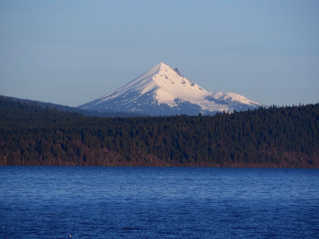
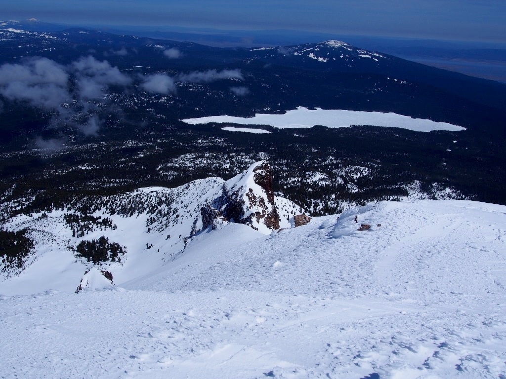
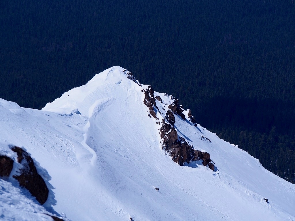
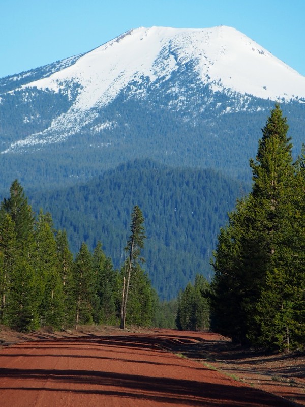
At about this time last year (1 week later) I toured Mt McLoughlin, stayed in Klamath falls and then skied Mt Scott. Such a good trip and with promising weather I repeated the same trip this year.
8677448734_0d9652569d_b.jpg


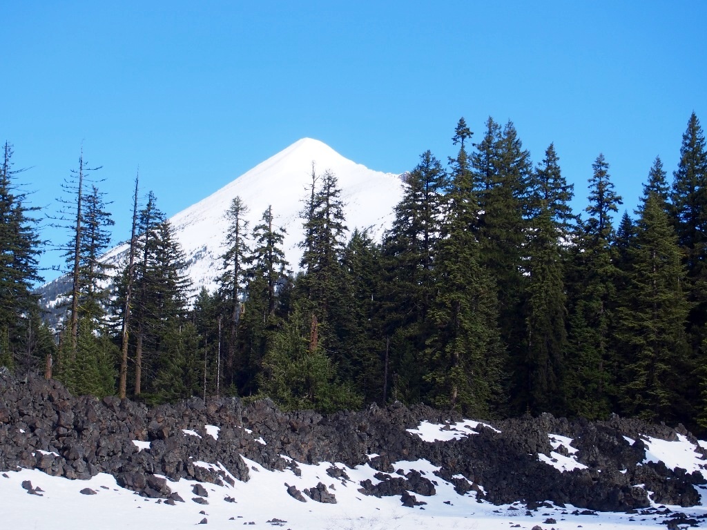
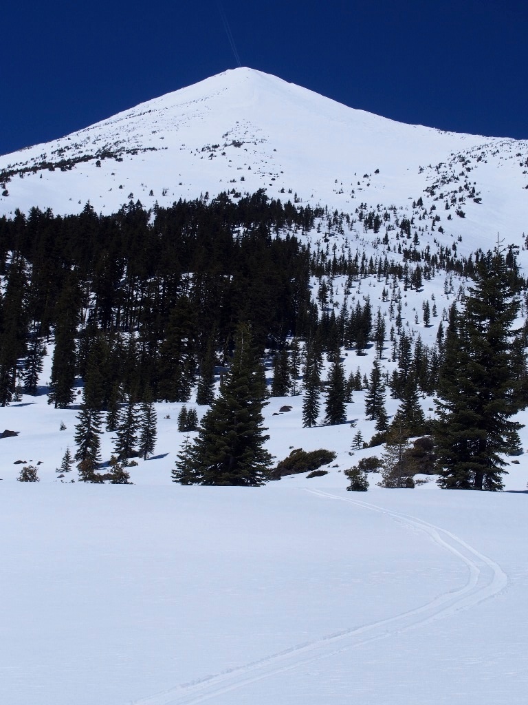
I left eugene early in cloud and drizzle, not promising, but the weather by medford was sunny. Left the summit snow park at around 8:45am (the forecast was for early cloud clearing out so I slept an extra hour). Snow was a little thinner than last year, and more broken,but I managed to connect the snow* to make a slow progress along the PCT before heading northwards. I forgot how much this slog through the woods just goes on and on sapping the energy. No easy direct path, everything from the lava to the trees tries to block your path.* Some of the lava flows at least yield a glimpse of the summit.

8677453794_1b9e982b03_b.jpg


Broke out of the first around 7000ft and met a couple of climbers with snowshoes* who had started 2 hours before me. The next 2500ft went relatively quickly due to good snow, soft and Edge-able but supportive. I used ski crampons as a precaution (and I carried ice axe plus boot crampons after last weeks mishap) .

8677453760_9e337678b2_b.jpg


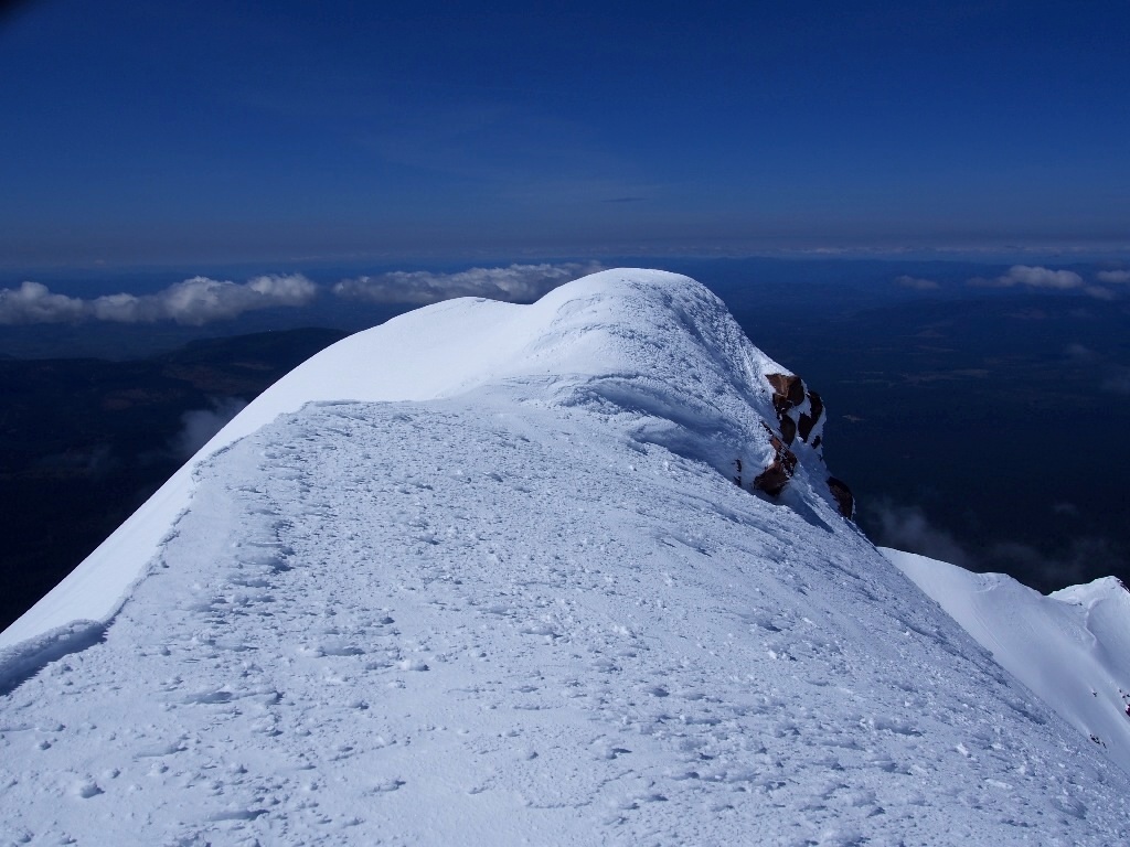
There was a stuff breeze on the summit but sitting on the south side wasn't too bad and I hung around for nearly an hour. As I began my descent I saw the climbers still 1500ft below me, they must have been struggling.

8677453728_e19d7c7c80_b.jpg


8677453706_d9860d1a69_b.jpg


8677451278_5630c2edf6_b.jpg


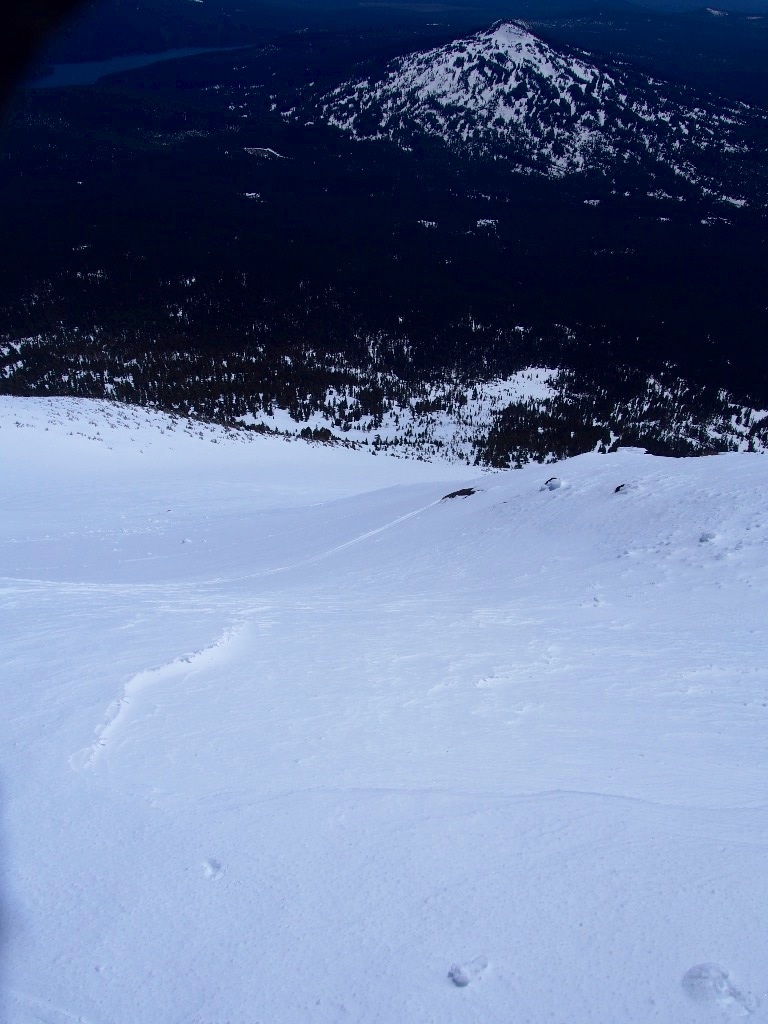
Descent was down the SW avalanche path and was nice and smooth but very sticky despite waxing my skis on the summit. Snow hadn't really corned, seemed to be fresh snow that had just melted. Really enjoyable descent, shame it is such a trek to get there... Then a long traverse back towards the snowpark which turned into lots of dirt skiing before I gave up headed due south to the highway 140 and a 1 mile hike back to the car.

8677451216_3fd3fc0a50_b.jpg


8677448794_d4872cd94a_b.jpg


5000ft, about 15miles, 3.5 hours up
 
8677456706_ce2e9fdfe7_c.jpg


After Mt McLoughlin on Saturday I stayed in Klamath Falls (stayed in the Maverick hotel which was cheap, clean and decently located). Sunday I decided to ski Mt Scott like last year, it is a fun mountain with an outstanding view and a good descent.
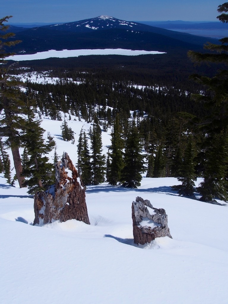
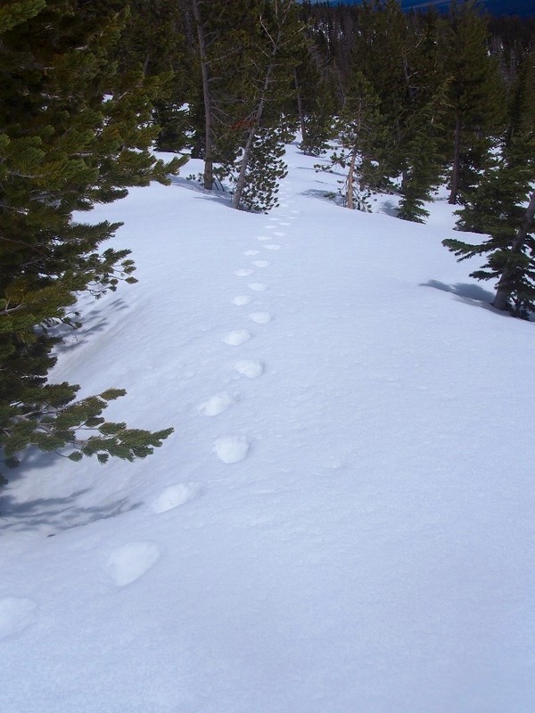
Downside early season is access, which seems it start from the desert floor at this time of year. I managed to drive up to about 5000ft, luckily from 5100ft I found mostly continuous snow for skinning along the forest roads. This is about 200ft and 0.5miles closer than last year. My route was nf-062 to the nf-2308. From there up the SE ridge, which start as old growth forest and opens up further at around 7000ft where I saw this worrying trail:

8676354789_448a0ff427_c.jpg


Looked like bear tracks and very fresh to me so I moved hurriedly on. It was a warm and sunny day but not too hot and with a gusty breeze. snow was firm after a hard freeze, softening nicely in the sun.

8676354769_2133eef490_c.jpg


Towards the top of the SE ridge the slope gets quite steep, I swung around to a slightly more southerly slope in a nice clearing (formed by pumice I believe). I had hoped to meet the summer path but it was hard to find and so I did some precarious skinning around the stunted pines. The snow here was icy and wind affected, with icy nodules. After 15 minutes scrambling around I was on the south summit, deciding to ignore the true north summit because it doesn't add much vertical but 1/4 mile traverse. By this point clouds were drift in from the west which wasnt expected.

8676353003_ab0a66c054_c.jpg


8677456766_d81794e5d8_c.jpg


Still the view was spectacular. Crater lake is such a stunning surprise after hours of skinning.

8677456748_d8742a338a_c.jpg


8676353071_0533ab2d55_c.jpg


I had lunch sheltered from the breeze on the south east side, when does it had clouded over completely so it was time to drop down the avalanch path, which makes for a great descent. I passed the bear tracks again, and then made a traverse back to the south.

8677456782_1eeb5f8e00_c.jpg


8676354819_9962daa26c_c.jpg


A long slow slog back to the car, almost possible to ski on forest roads but mostly lots of poling and shuffling.

4500ft, roughly 15 miles RT, 3 hours to the top (90 minutes on the gentle forest roads)
 
Back
Top Bottom