

You are using an out of date browser. It may not display this or other websites correctly.
You should upgrade or use an alternative browser.
You should upgrade or use an alternative browser.
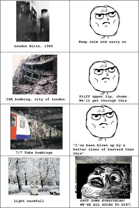
It's snowing
- Thread starter VFR_KID
- Start date
More options
Thread starter's postsDon't want to drive in it, and can't afford new tyres just for snow. So yes, bugger off snow.
Indeed.
Soldato
If it snows ill have to take my bmx to work and leave my roadie alone..
Soldato

Numerical weather models give forecasters guidance on all aspects of the weather, including potential snowfall amounts. With the prospect of snow over the next few days here is an example of model output for potential snow amounts on Monday, in the 24 hours from 00GMT Monday, in centimetres.
Some fairly high snowfall totals are possible in places, with eastern areas most at risk. It should be noted that Scotland and northern parts of England are likely to have a few cms on Sunday and overnight.
Bear in mind that this is just model output, not a promise. Even so, it would be interesting to see your photos and for you to let us know how much snow you have. Ideally this should be measured on a flat surface using a ruler - a photo of the ruler in the snow is even better!
Soldato
Looks like I took Mon & Tues off work just in time. 
Soldato
- Joined
- 29 Jun 2004
- Posts
- 12,957
What do the numbers mean? Are they amounts of snow in mm? If so,

 ...
...Soldato
cm i think
Associate
Ooh I'm right about the 10-11 area
Feet yes feet
Caporegime
As usual, back home in York area they're gonna get the most, here in Manchester bugger all at 3cm, how crap.
Associate
- Joined
- 8 Apr 2012
- Posts
- 182
No snow, clear skies and relatively warm (+5C), in Gloucester, so far disappointed, but if the snow comes after sunday I'm still happy, school closes for heavy frost, so shouldn't be too hard to get more holidays...
Feet yes feet
If a few cm can bring the nation to a standstill, this would destroy the country!

Soldato
Nothing much happening in Nottm yet, hopefully it stays this way!
Associate
- Joined
- 18 Aug 2012
- Posts
- 26
Its got to get warmer before the snow drops guys, its not how freezing it is lol
Associate
Snowing in the Forest of Dean. Can't see it accumulating on the ground though.
Its got to get warmer before the snow drops guys, its not how freezing it is lol
That explains why there's no snow in the arctic
Soldato
There's been a bit in Nottingham overnight, Boooo!