Update: the above method definitely didn't work, as it seems that site is designed for TomToms etc., but someone's written a program that converts Google MyMaps (not Google Maps) routes into a Mercedes COMAND-friendly .gpx file.
Link to the program is here:
http://www.freepoc.org/download/Routes109.zip. You basically copy the program to an SD card and run the batch file, which allows you to convert the .KML outputted by GoogleMyMaps to a .GPX file that the COMAND navigation will (should) recognise.
It seems to be working based on the car's response to the file on the SD card, though not yet tested in earnest on my vehicle. You get the choice of whether to start from the start of the route or the vehicle's current location, which is important.
Again, a joke that all this tomfoolery is required, but it's simple enough once you've done it a couple of times. The main limitation is that complex routes (with lots of 'track points') will (might) require the creation of multiple files, instead of a single file to cover the entire journey. All this means in practice is that at some point in the journey, you'll have to select the next route file.
The limit (imposed by COMAND, presumably due to processing limitations) is 10,000 'track points'. I think a track point is any point at which the car could possibly take a different route...? I've obeyed the program's limit for the moment and tomorrow will try ignoring it and creating a single file, to see if the 2018 COMAND system has started ignoring the 10k limit (unlikely).
Taggging
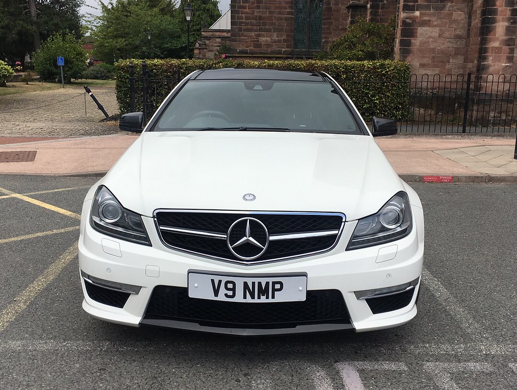
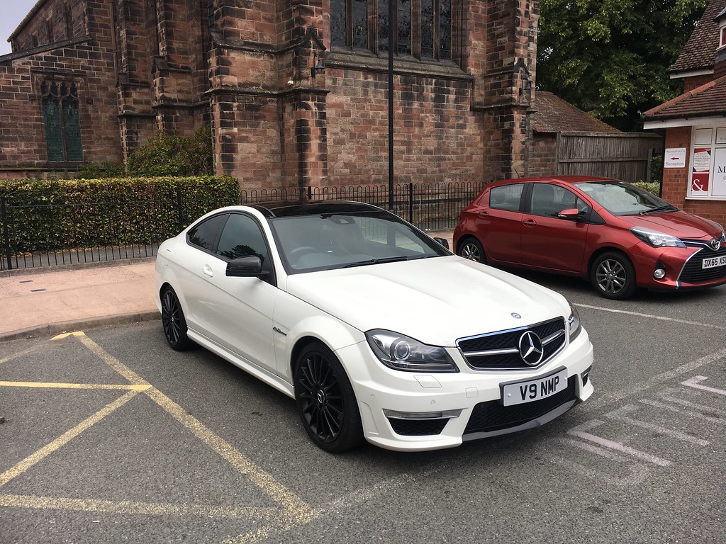
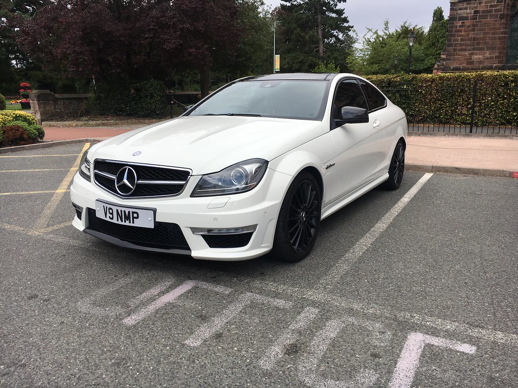
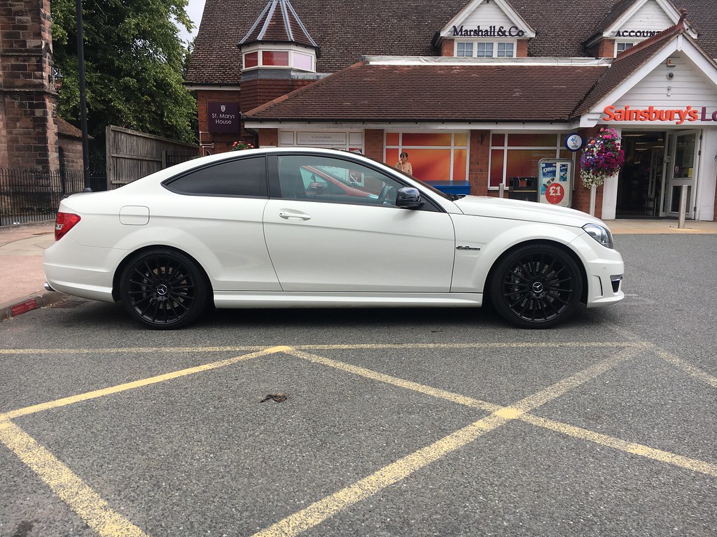
@Scrutinize. For anyone finding this by Google, my car is a MY18 S213 (E-Class estate).
PS: if the guy that wrote this program (
[email protected]) ever sees this post, a big thank you......!


")
 .
. 
 I can't really describe why since on paper it ticked every single checkbox for me, but I didn't gel with it at all.